Lowest drawing cost.
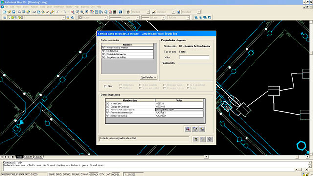
Certa GIS incorporates intelligent and configurable network objects. Every object knows the types of element it can or should be connected to, be it mandatory data, optional data, valid values per data element or consistency rules with other network elements. Data entry for Certa GIS can be carried out in a quick, simple and accurate manner.
Lowest training cost
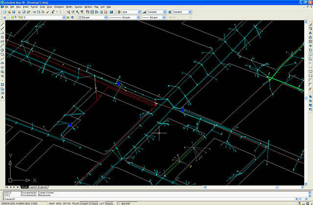
It runs within AutoCAD MAP, a well-known tool used by engineers or sketchers. It minimizes training time and decreases network drawing costs.
Conditional symbology! Personalised view of the same model for each area
Symbols can be configured based on data associated to each object, each user area or zoom visualization level. Users are able to visualize the model in their accustomed manner, even though everyone is using the same network model.
Detailed user access permits
Authorizations for each user may be defined on the basis of network type, geographical area, system module, command type or type of associated data. The system logs every change made in the model, specifying who made it, from what workstation and at what time.
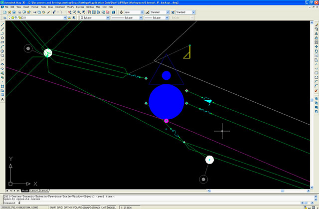
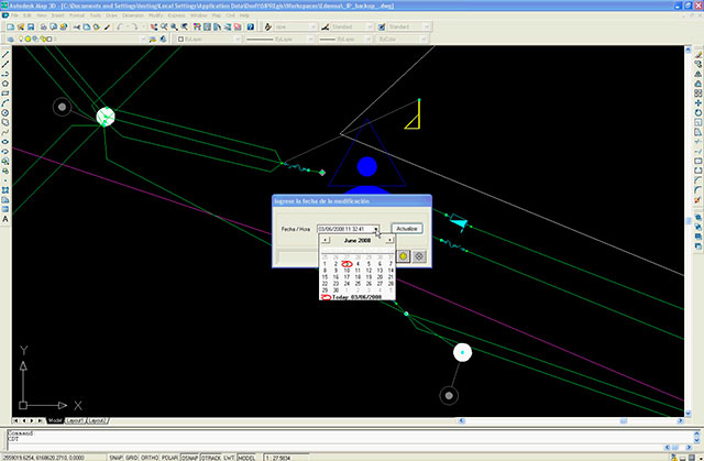
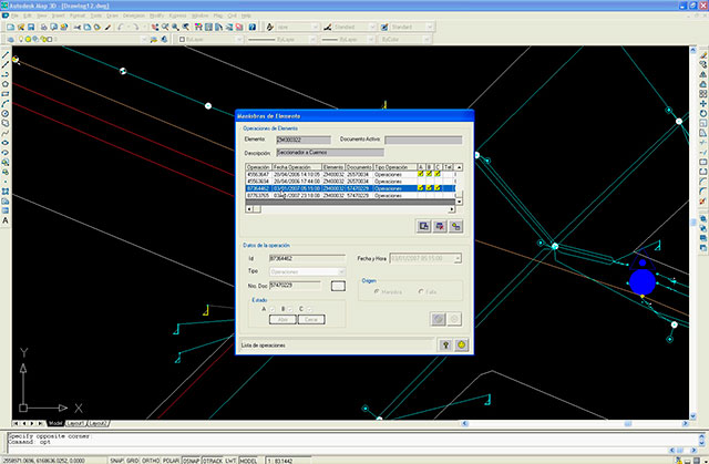
History! Network configuration from outage time. No more lost assets
Analysis of the network model can be performed any day of the week, anytime, showing the exact network connectivity status at the time an event occurred. It is also possible to analyze investments done the previous year, follow up on a certain asset over time or analyze customer connections in a specific area after changes in network technology.
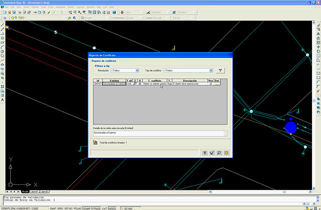
Assured information quality
Each update is entered at the exact date and time of occurrence in the street. Certa GIS carries out validations of time and associated data to ensure that all areas update the network model in a manner that is consistent with the information coming from other business systems (CRM, billing, OMS, ERP, monitoring, among others).
Schemas
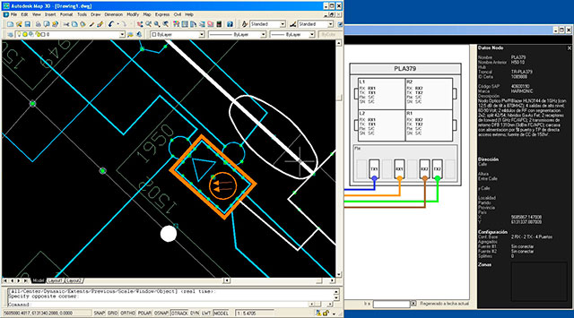
It can edit and visualize the network model both geographically and schematically. An object can be visualized in various ways without creating duplications within the model.
Internal layouts
Internal layouts of complex objects can be edited. Even in extreme cases, such as an electric substation or a communications hub.
Design and operational topology in the same network model
It can edit the internal layouts of complex objects, even in extreme cases, such as an electric substation or a communications hub.
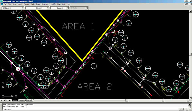
Thematic maps
Geographical analysis of corporate information: corporate data coming from other systems on the geographical or schematic model can be analyzed. Totals for each area or circuit can be calculated to create reports or spectacular thematic maps.
Topology per phase, fiber or pair
The system can analyze topologies based on electric network phases, fiber optic network fibers or copper network pairs.
Our competitors use standard GIS systems that are adapted to network management, while Certa GIS has been designed in such way that the network graph is the central element of the system. Geography is simply an additional attribute for each object. If a network is the key element of your business, Certa GIS is the best option to model it.